


TROPICAL DISTURBANCE (LPA) MAYMAY STORMWATCH NO. 03 [Final]Issued at: 10:00 AM PhT (02:00 GMT) Thursday, 13 October 2022
|
|
|---|---|
| Current Status and Outlook |
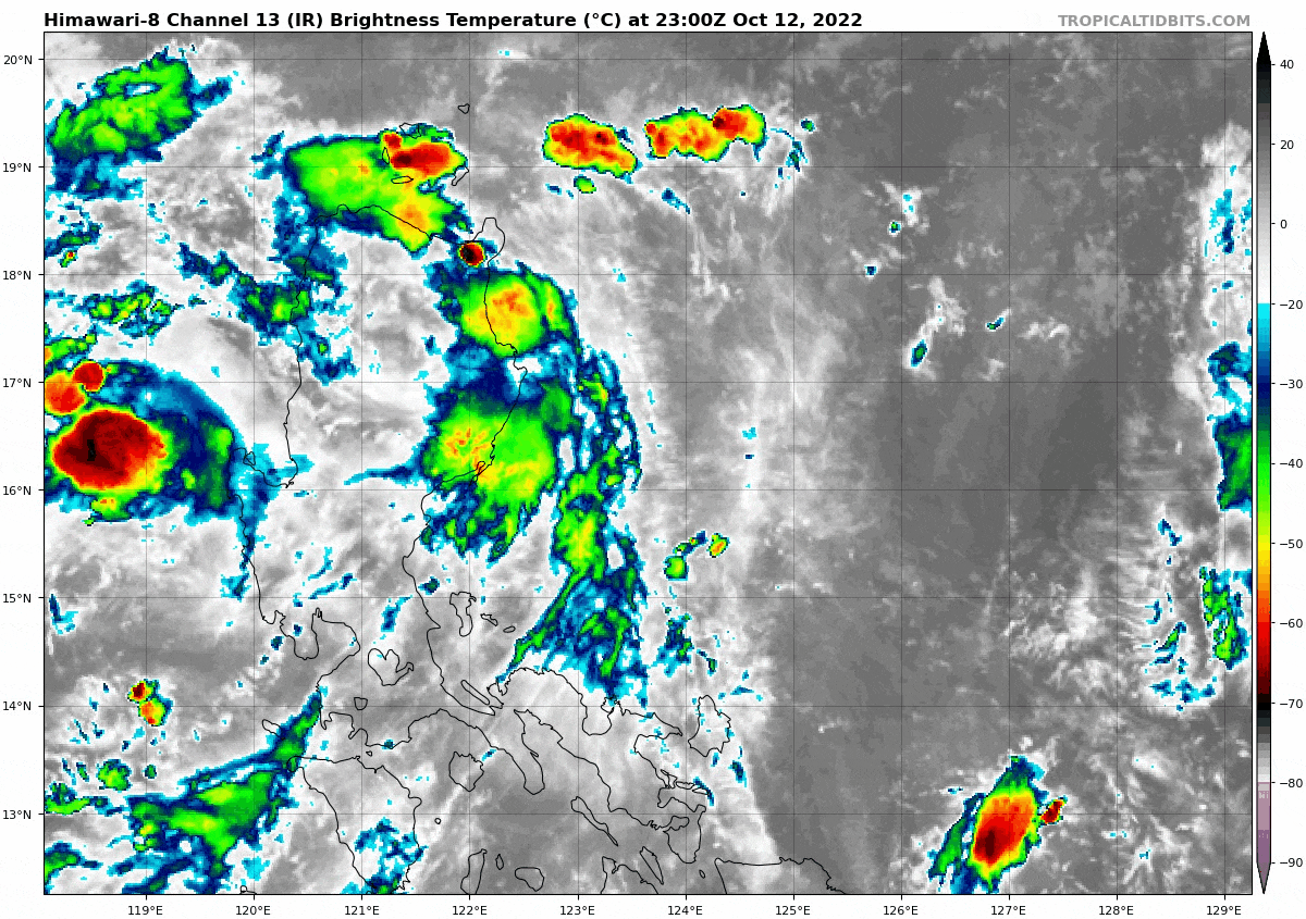
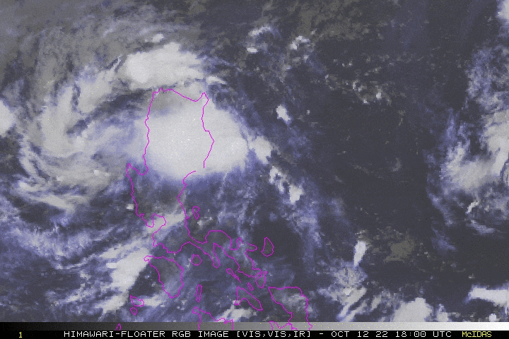
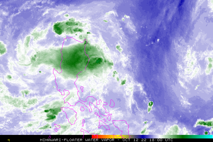
Tropical Disturbance (LPA) MAYMAY now dissipating over the Philippine Sea, near the coastal waters of Aurora. Its detached, mid-level circulation has moved over land across Northern Luzon with decaying rainbands. The Northeast Monsoon Flow has started to weaken as well, only affecting Batanes Group. This is the Final StormWatch on this disturbance. |
| Where is LPA MAYMAY? | As of 8:00 AM PhT Today, October 13…0000 GMT:
|
| How strong is it? | Maximum Sustained Winds (1-min avg): 30 kph near the center…Gustiness: 45 kph. |
| Past Movement (06 hrs) | West-Southwest @ 05 kph, across the Central Philippine Sea. |
| Forecast Highlights |
|
| This StormWatch is valid for the next 24 hours.
Information based on data collected by Typhoon2000 (T2k) shall not be taken as official data. Weather information broadcasted and distributed by PAGASA remains as official data. Typhoon2000 (T2k) shall not be responsible for the private use and reliance of its weather information. |
|
Issued by: David Michael V. Padua for Typhoon2000 (T2K)
PAGASA TROPICAL CYCLONE WIND SIGNAL
:: Now Lifted ::
Image/Screenshot Source: DOST-PAGASA (https://bagong.pagasa.dost.gov.ph/tropical-cyclone/severe-weather-bulletin)


