

TROPICAL DISTURBANCE (LPA) AMANG ADVISORY NO. 04 **Final**Issued at: 11:00 PM PhT (15:00 GMT) Wednesday, 12 April 2023
|
|
|---|---|
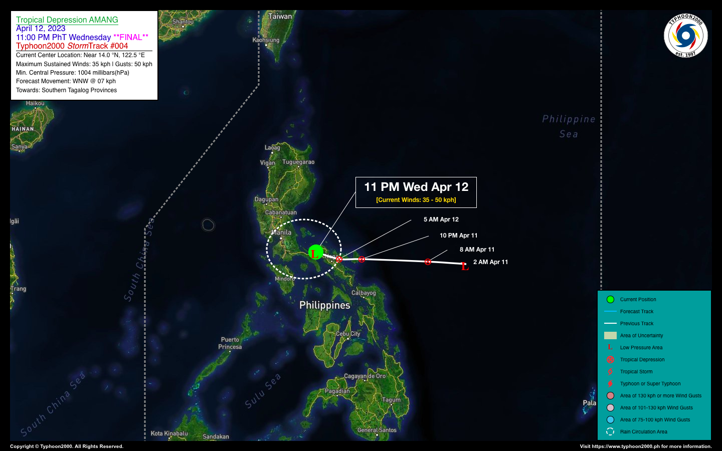
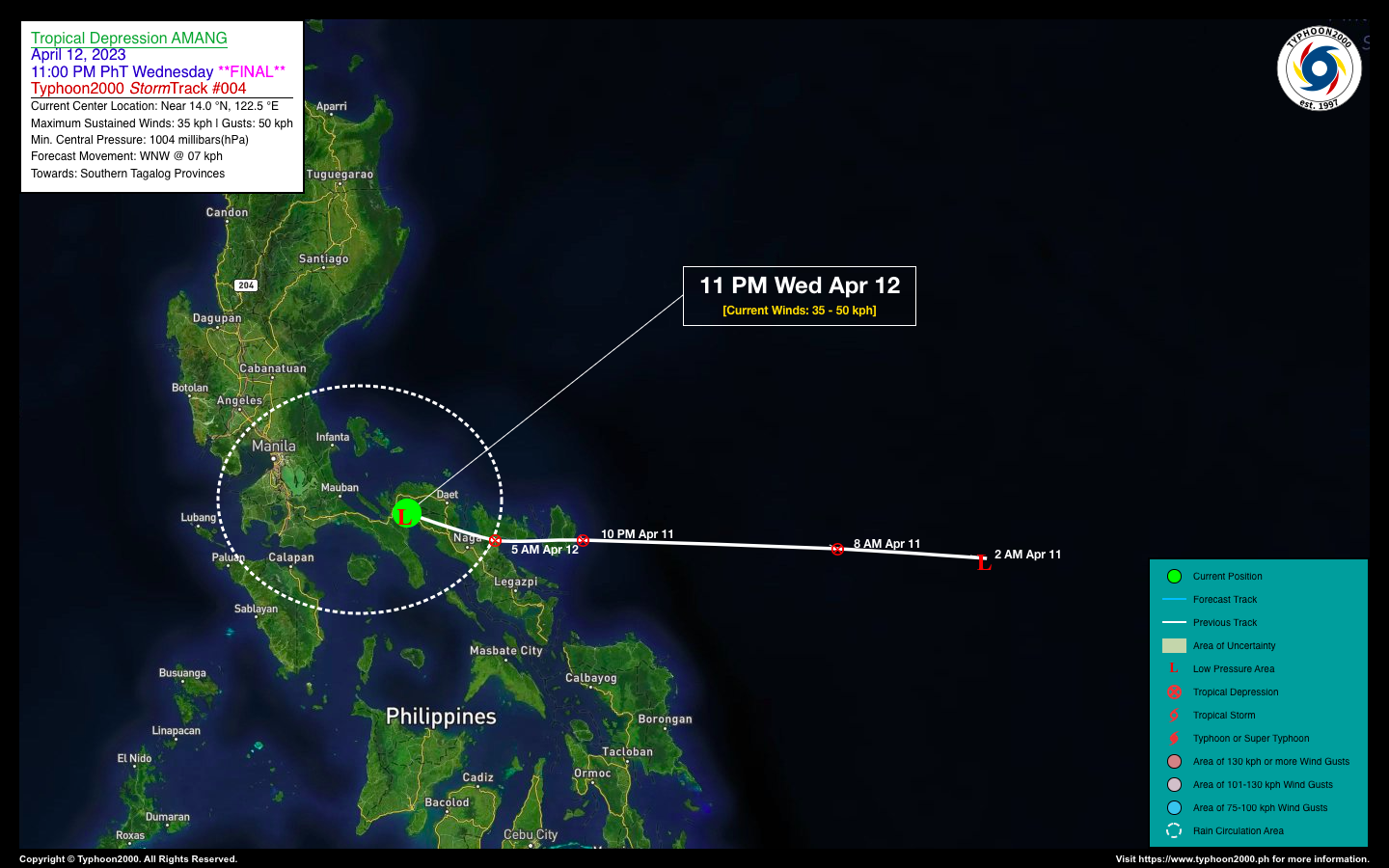
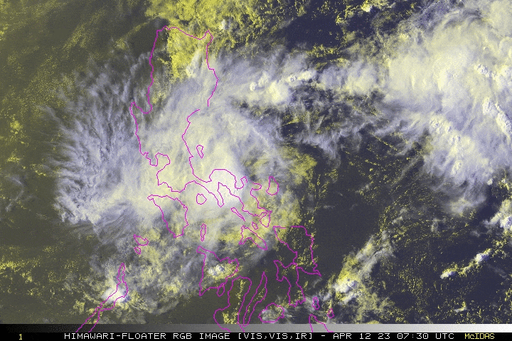
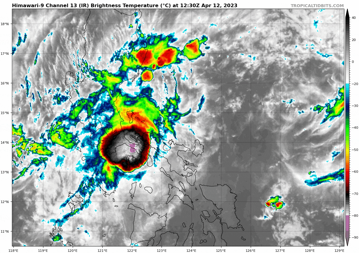
| Current Status & Outlook | Tropical Depression (TD) AMANG has weakened into a remnant Low Pressure Area, after crossing Camarines Provinces. Heavy to extreme rains of 300-500 mm have been observed across the various T2k Weather Stations in Camarines Sur. Improving weather conditions will commence on Thursday (Apr 13) across Camarines Provinces as the system moves further away.
Meanwhile, due to its deteriorating state, this will be the Final Advisory on this Tropical Cyclone. |
| Where is Ex-TD AMANG? | As of 11:00 AM PhT today, April 12…1500 GMT:
|
| How strong is it? | Maximum Sustained Winds (1-min avg): 35 kph near the center…Gustiness: 50 kph. |
| Past Movement (06 hrs) | West-Northwest @ 07 kph, towards Southern Quezon. |
| Potential Philippine Major Landfall Area(s) |
|
| What Philippine areas will be directly affected? | Heavy to Extreme Rainfall (50 mm to >100 mm expected for 24 hrs):
Damaging Winds (gusts of more than 100 km/hr expected):
|
| Potential Storm Surge/Coastal Flooding Areas+ |
+Waves of 3 meters in height are expected in storm surge-prone areas, particularly in coastal areas where the Tropical Cyclone is headed. Kindly visit the PAGASA Storm Surge Updates for more details. |
| 3-Day Forecast Outlook Summary** |
**Important Note: Please be reminded that the Forecast Outlook changes every 6 hours, and the Day 2 and 3 Forecast Track have an average error of 100 and 250 km respectively… while the wind speed forecast error, averages 35 km/hr per day. Therefore, a turn to the left or right of its future track and changes in its wind speed must be anticipated from time to time. |
| Other Storm’s Meteorological Information |
|
| Disclaimer: Information based on data collected by Typhoon2000 (T2k) shall not be taken as official data. Weather information broadcasted and distributed by PAGASA remains as official data. Typhoon2000 (T2k) shall not be responsible for the private use and reliance of its weather information. | |
Issued by: David Michael V. Padua for Typhoon2000 (T2k)
Typhoon2000 (T2K) Integrated Multi-Agency Tracks
:: Not Yet Available
PAGASA TROPICAL CYCLONE WIND SIGNAL
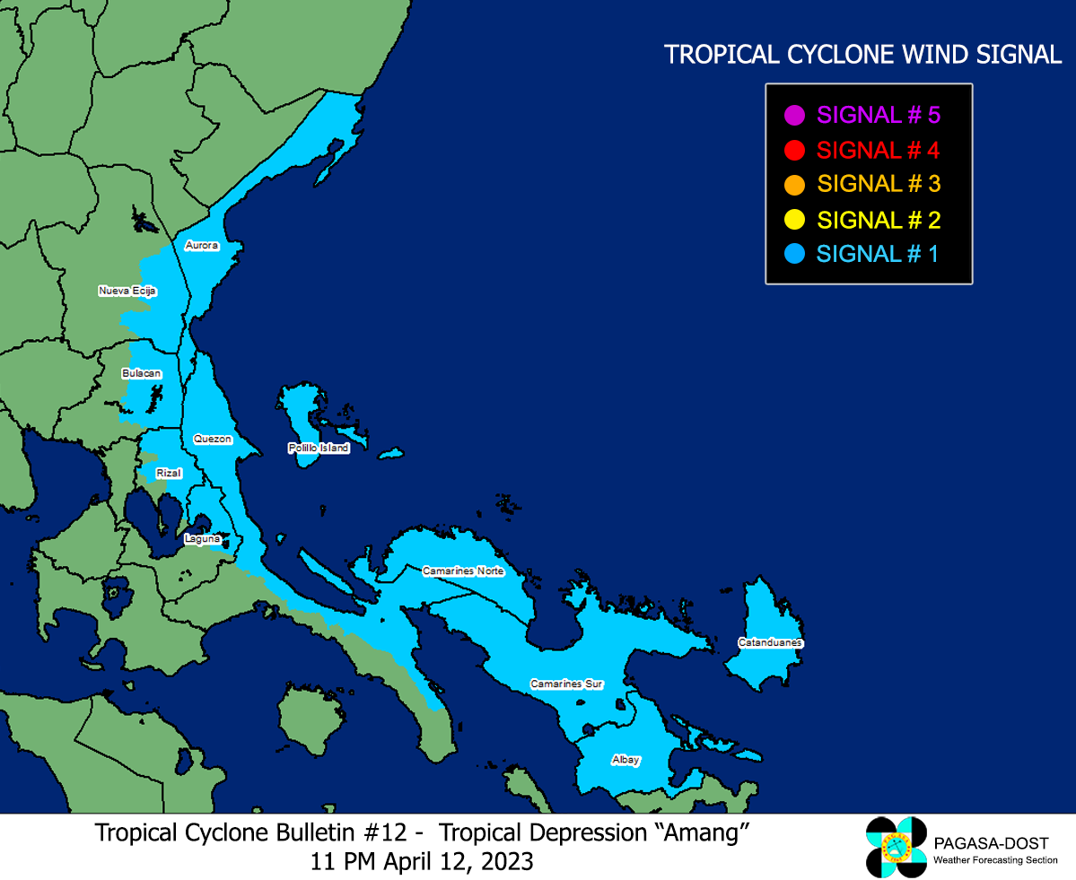
Image/Screenshot Source: DOST-PAGASA (https://bagong.pagasa.dost.gov.ph/tropical-cyclone/severe-weather-bulletin)


