TYPHOON HENRY (HINNAMNOR) STORMWATCH NO. 05 [FINAL]Issued at: 2:00 PM PhT (06:00 GMT) Sunday, 04 September 2022
|
|
|---|---|
| Current Status and Outlook |
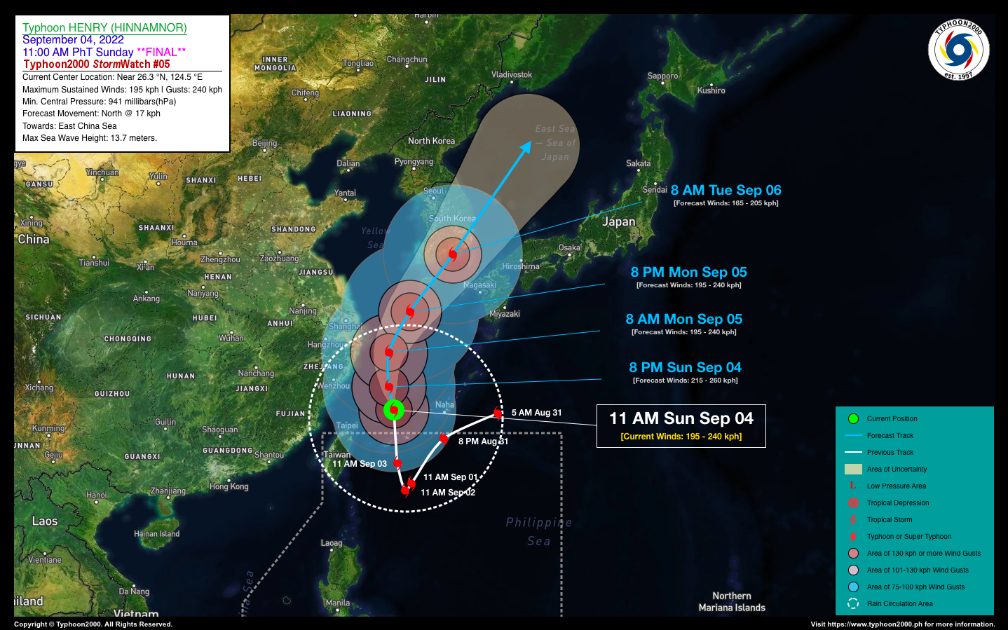
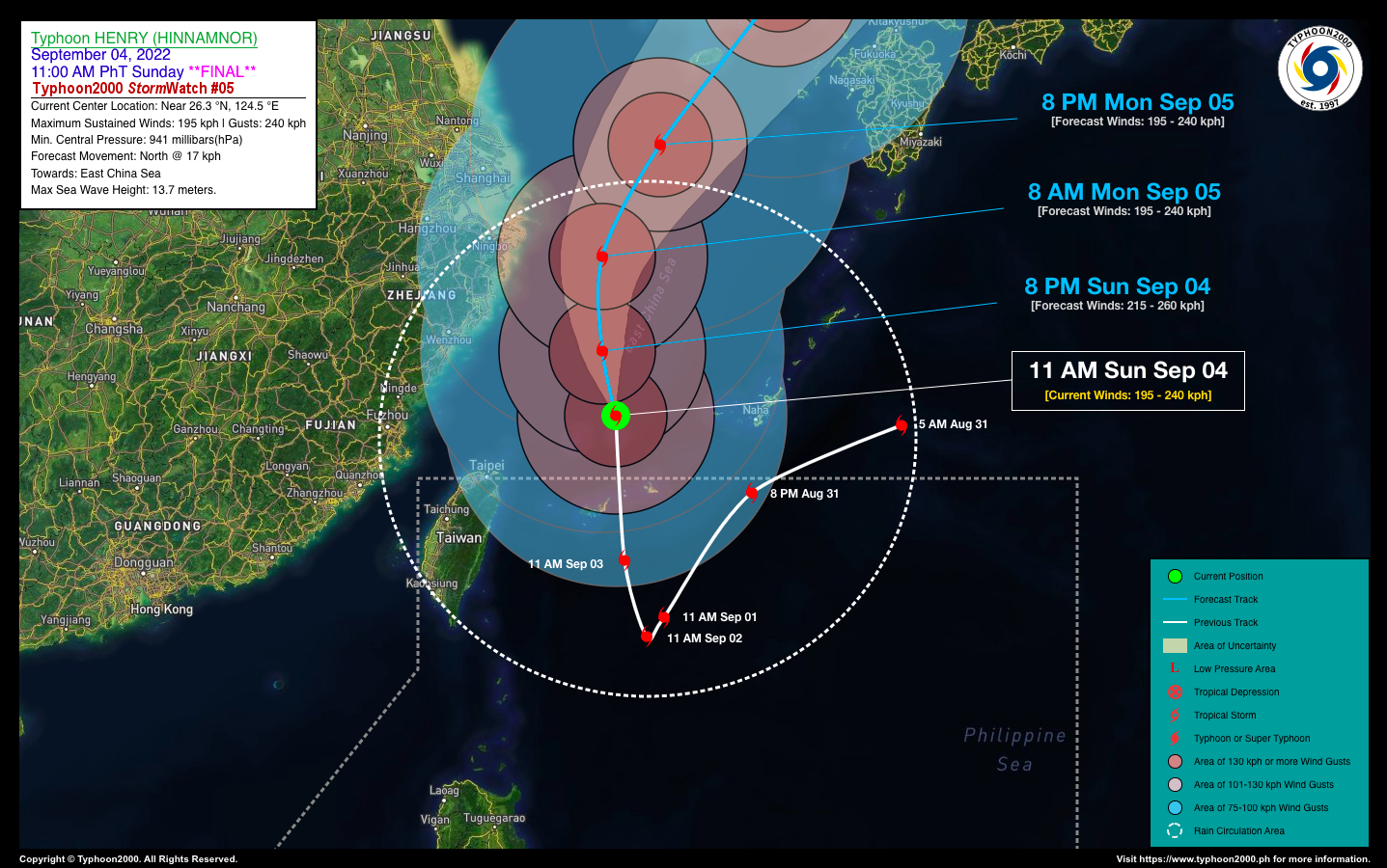
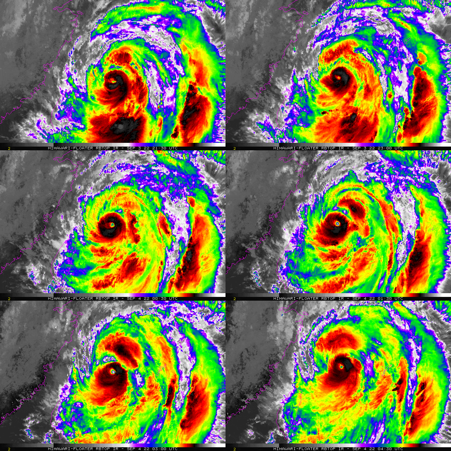
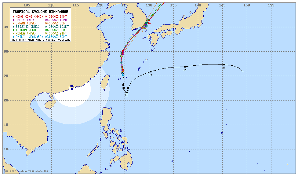
Typhoon HENRY (HINNAMNOR) has moved out of the Philippine Area of Responsibility (PAR) early this morning after traversing the Japanese Island Group of Yaeyama and Miyako. The core of the system is now moving northward across the East China Sea as it continues gaining strength. The outer rainbands which have been affecting Extreme Northern Luzon for the past few days have already left the area. Due to its current position, the typhoon’s enhancement of the Southwest Monsoon (Habagat) will decrease significantly. Therefore, improving weather conditions will be expected across Western Luzon within the next 24 to 48 hours. *This is the Final StormWatch on this Tropical Cyclone. |
| Where is HENRY (HINNAMNOR)? | As of 11:00 AM PhT today, September 04…0300 GMT:
|
| How strong is it? | Maximum Sustained Winds (1-min avg): 195 kph near the center…Gustiness: 240 kph. |
| Past Movement (06 hrs) | North @ 13 kph, towards the Coastal Waters of South Korea. |
| Forecast Highlights |
|
| This StormWatch is valid for the next 24 hours.
Information based on data collected by Typhoon2000 (T2k) shall not be taken as official data. Weather information broadcasted and distributed by PAGASA remains as official data. Typhoon2000 (T2k) shall not be responsible for the private use and reliance of its weather information. |
|
Issued by: David Michael V. Padua for Typhoon2000 (T2K)
PAGASA TROPICAL CYCLONE WIND SIGNAL
:: Now Lifted ::
Image/Screenshot Source: DOST-PAGASA (https://bagong.pagasa.dost.gov.ph/tropical-cyclone/severe-weather-bulletin)


