


TROPICAL DISTURBANCE (LPA) NENENG STORMWATCH NO. 01Issued at: 3:00 AM PhT (19:00 GMT) Friday, 14 October 2022
Next update: 3:00 AM PhT (19:00 GMT) Saturday, 15 October 2022 |
|
|---|---|
| Current Status and Outlook |
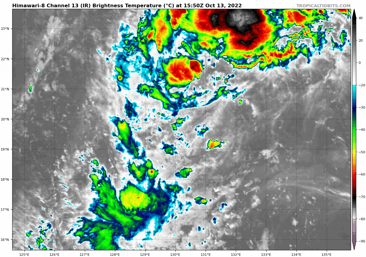
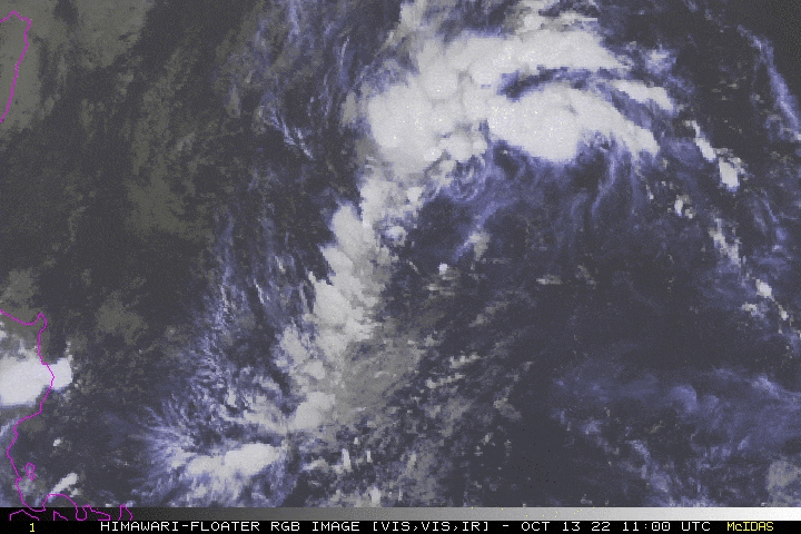
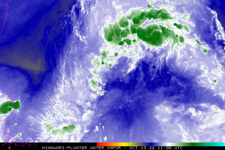
Tropical Disturbance (LPA) 97W [NENENG] slowly organizing over the North Philippine Sea as it swiftly moves west-southwest, threatening Extreme Northern Luzon. The LPA is forecast to traverse Luzon Strait late Saturday or Sunday (Oct 15-16) as a Tropical Depression or Tropical Storm. The presence of this LPA will enhance the Northeast Monsoon (Amihan) and bring occasional rains and gusty winds (30-60 kph) across Extreme Northern Luzon. Meanwhile, to the south along Central & Southern Luzon, Western Visayas, Palawan, Sulu and Western Mindanao – Southwesterly Windflow is expected to bring rain showers and thunderstorms this weekend. |
| Where is LPA NENENG? | As of 12:00 AM PhT Today, October 14…1600 GMT:
|
| How strong is it? | Maximum Sustained Winds (1-min avg): 35 kph near the center…Gustiness: 55 kph. |
| Past Movement (06 hrs) | Southwest @ 14 kph, across the North Philippine Sea. |
| Forecast Highlights |
|
| This StormWatch is valid for the next 24 hours, but may be upgraded into Advisories once it becomes a Tropical Cyclone.
Disclaimer: Information based on data collected by Typhoon2000 (T2k) shall not be taken as official data. Weather information broadcasted and distributed by PAGASA remains as official data. Typhoon2000 (T2k) shall not be responsible for the private use and reliance of its weather information. |
|
Issued by: David Michael V. Padua for Typhoon2000 (T2K)
PAGASA TROPICAL CYCLONE WIND SIGNAL
:: None ::
Image/Screenshot Source: DOST-PAGASA (https://bagong.pagasa.dost.gov.ph/tropical-cyclone/severe-weather-bulletin)


