TROPICAL DISTURBANCE (LPA) VICKY STORMWATCH NO. 03Issued at: 7:00 PM PhT (11:00 GMT) Saturday, 19 December 2020
Next update: 7:00 PM PhT (11:00 GMT) Sunday, 20 December 2020 or earlier |
|
|---|---|
| Current Status and Outlook |
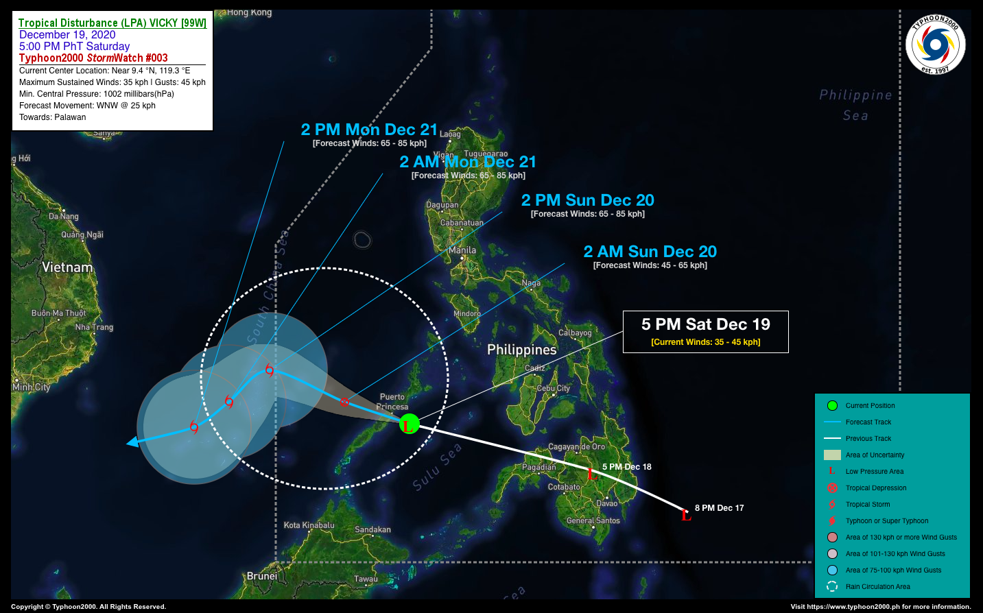
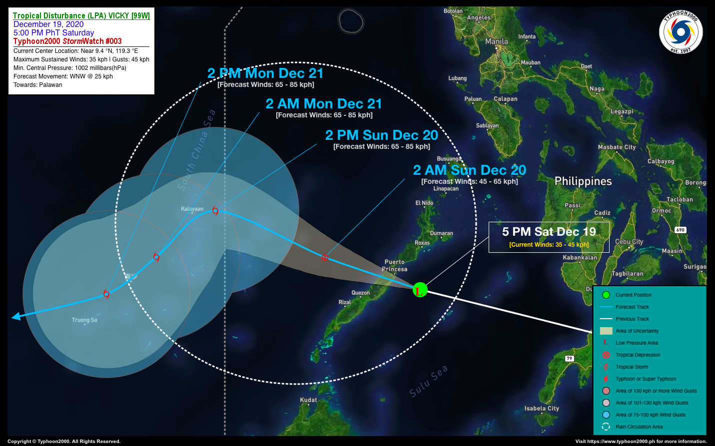
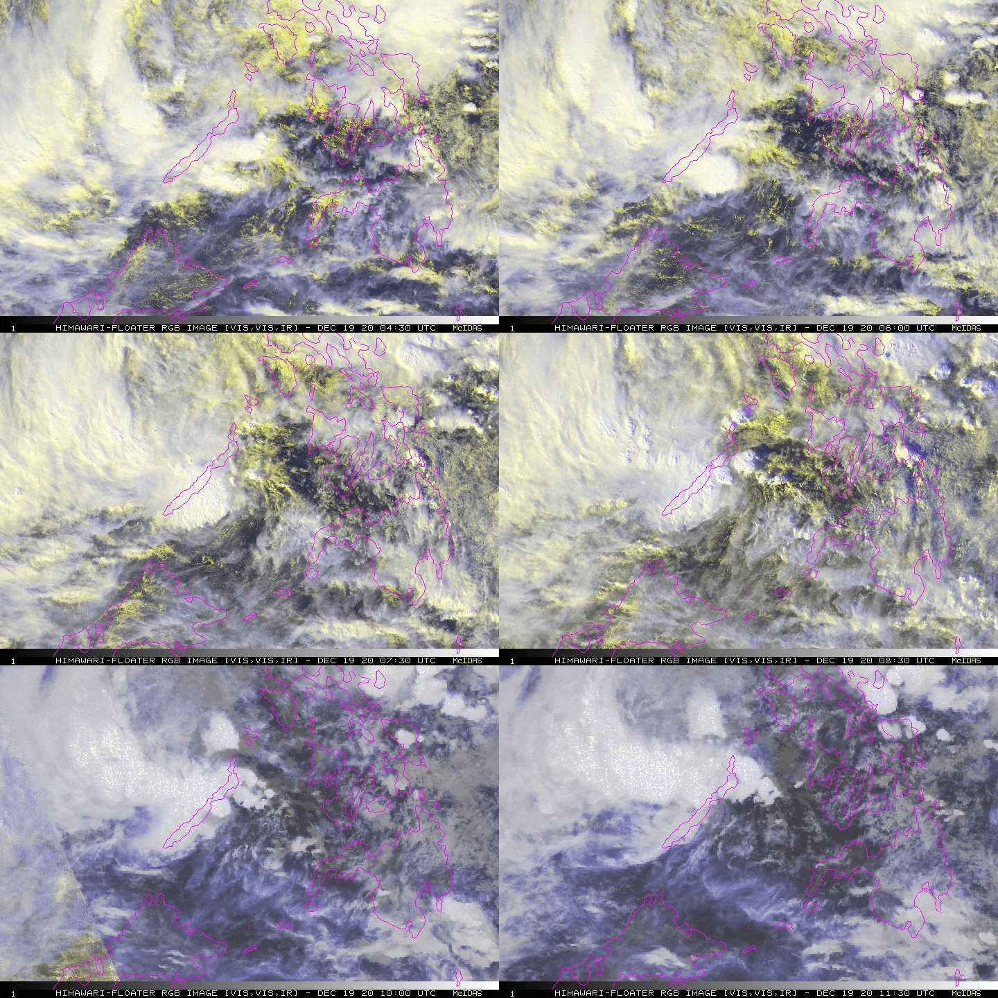
Tropical Disturbance (LPA) VICKY has accelerated west-northwestward across the Sulu Sea as it is about to traverse Palawan. This system remains disorganized, but could still become a Tropical Depression (TD) once it reaches the warm waters of the West Philippine Sea within the next 06 to 24 hours. LPA VICKY and its trough will continue to bring scattered to widespread rains and thunderstorms across Palawan including Kalayaan Island Group for the next 24 hours. Floods and landslides are likely in this kind of weather system. *Kindly refer to PAGASA for local warnings and forecasts in your respective regions. |
| Where is LPA VICKY? | As of 5:00 PM PhT today, December 19…0900 GMT:
|
| How strong is it? | Maximum Sustained Winds (1-min avg): 35 kph near the center…Gustiness: 50 kph. |
| Past Movement (06 hrs) | West-Northwest @ 18 kph, towards the Central Palawan & West Philippine Sea. |
| Forecast Highlights |
|
| Information based on data collected by Typhoon2000 (T2k) shall not be taken as official data. Weather information broadcasted and distributed by PAGASA remains as official data. Typhoon2000 (T2k) shall not be responsible for the private use and reliance of its weather information. | |
Issued by: David Michael V. Padua for T2K


