TYPHOON CHEDENG (GUCHOL) STORMWATCH NO. 05 [FINAL]Issued at: 8:00 PM PhT (12:00 GMT) Sunday, 11 June 2023 |
|
|---|---|
| Current Status and Outlook |
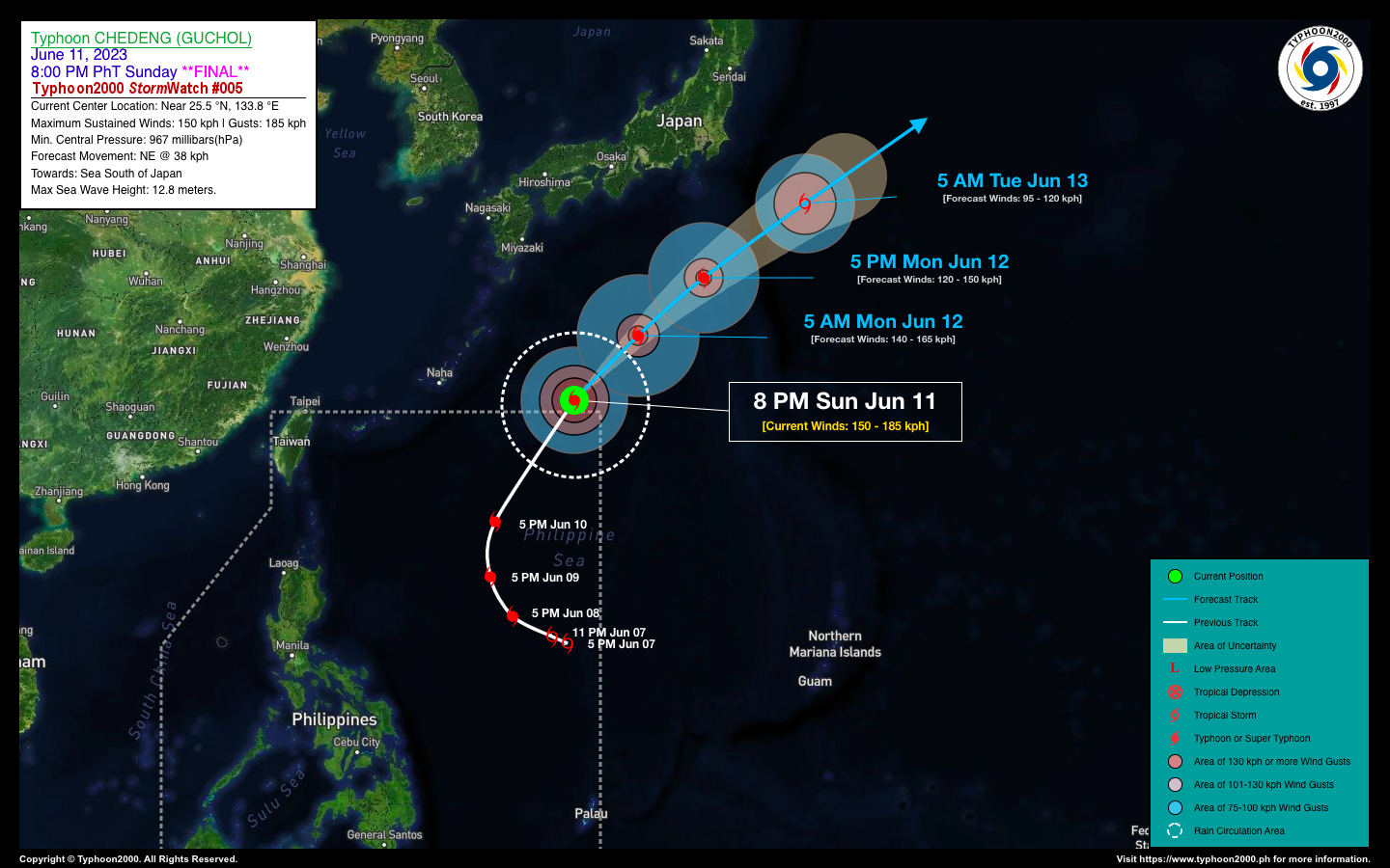
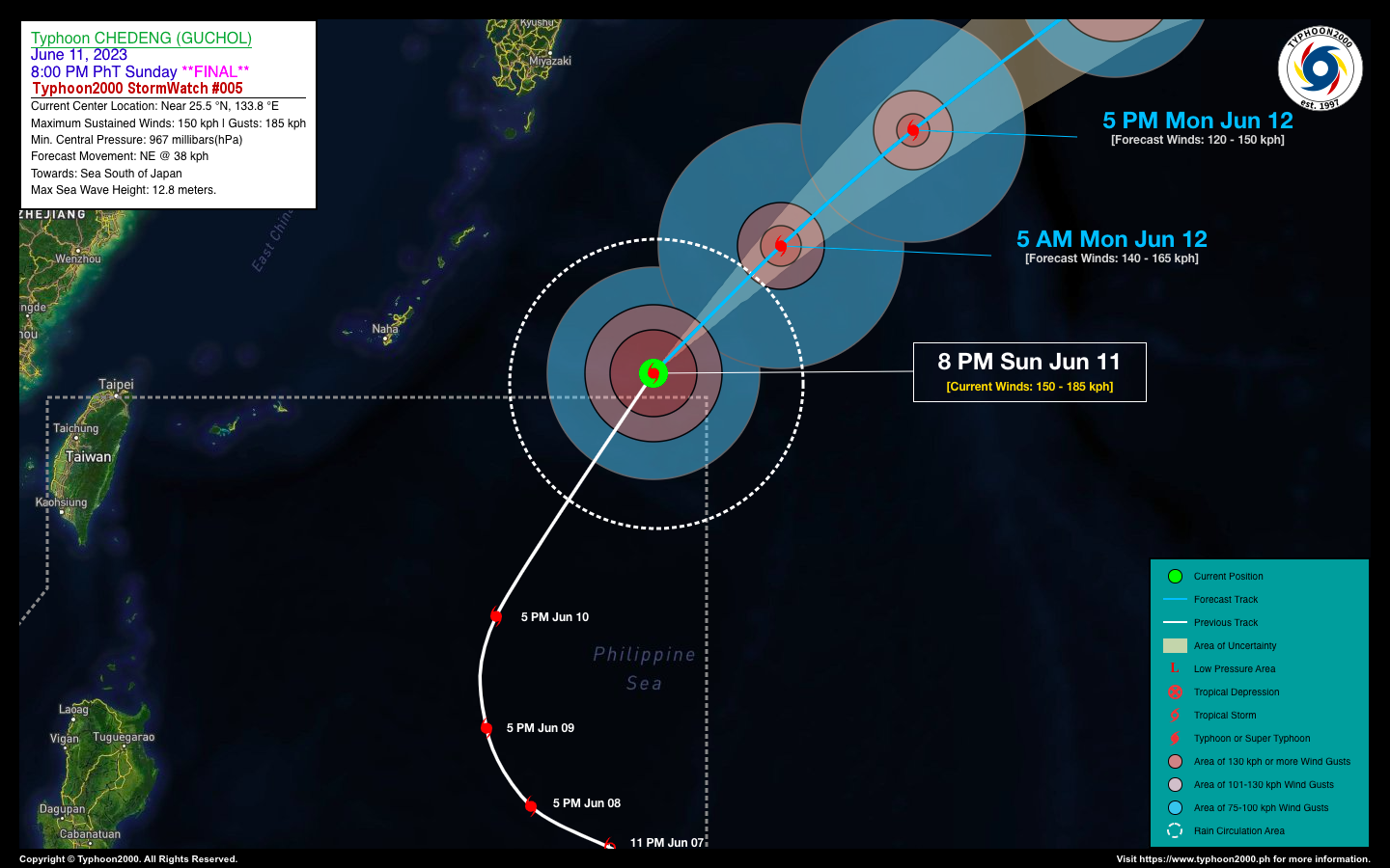
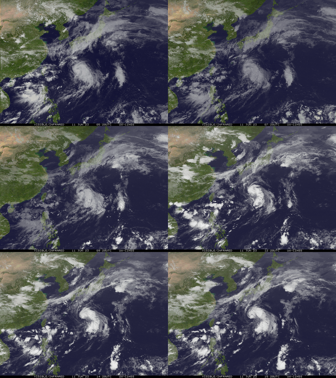
Typhoon (TY) CHEDENG [GUCHOL] has accelerated rapidly northeastward during the past 12 hours and left the Philippine Area of Responsibility (PAR) just after sunset. It is currently in a weakening phase, and has been downgraded to a minimal typhoon (Category 1). This is the Final Advisory on this Tropical Cyclone. TY CHEDENG will continue to slightly enhance the Southwest Monsoon (Habagat), bringing scattered to occasional rain showers with severe thunderstorms across the western sections of Luzon and MiMaRoPa tonight and tomorrow. Please take all necessary precautions against floods and landslides. |
| Where is CHEDENG (GUCHOL)? | As of 8:00 PM PhT today, June 11…1200 GMT:
|
| How strong is it? | Maximum Sustained Winds (1-min avg): 150 kph near the center…Gustiness: 185 kph. |
| Past Movement (06 hrs) | Northeast @ 33 kph, across the Sea South of Japan. |
| Forecast Highlights |
|
| This is the Final StormWatch on this Tropical Cyclone.
Information based on data collected by Typhoon2000 (T2k) shall not be taken as official data. Weather information broadcasted and distributed by PAGASA remains as official data. Typhoon2000 (T2k) shall not be responsible for the private use and reliance of its weather information. |
|
Issued by: David Michael V. Padua for Typhoon2000 (T2K)
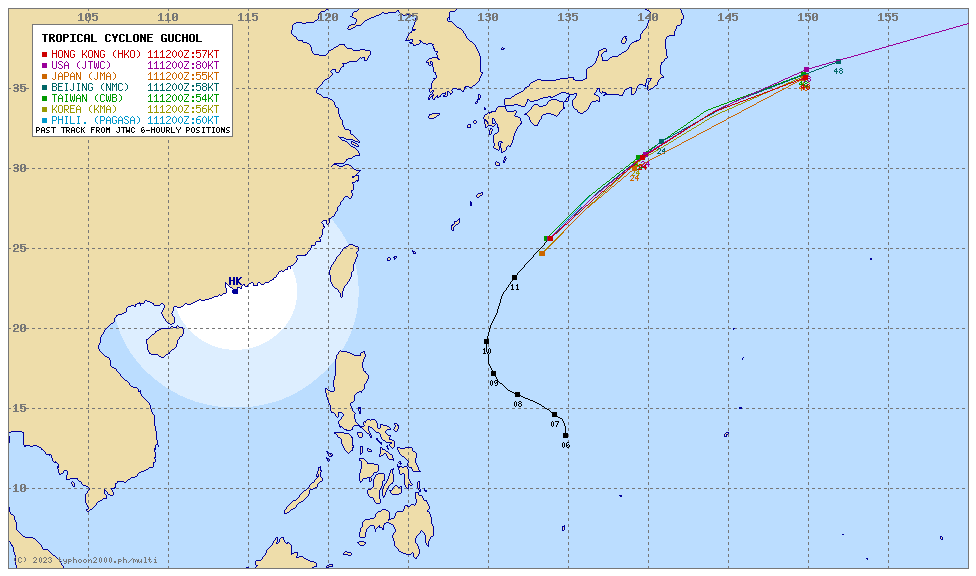
Typhoon2000 (T2K) Integrated Multi-Agency Tracks

For more info visit: (http://www.typhoon2000.ph/multi/?name=GUCHOL)
PAGASA TROPICAL CYCLONE WIND SIGNAL
:: None.
Image/Screenshot Source: DOST-PAGASA ()


