TROPICAL DISTURBANCE (LPA) 96W STORMWATCH NO. 01Issued at: 11:00 PM PhT (15:00 GMT) Sunday, 18 October 2020
Next update: 5:00 PM PhT (09:00 GMT) Monday, 19 October 2020 |
|
|---|---|
| Current Status and Outlook |
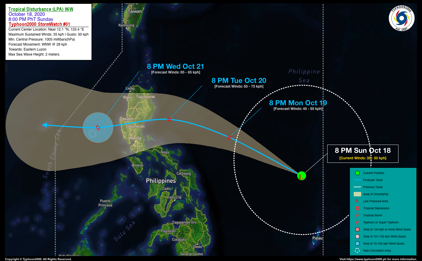
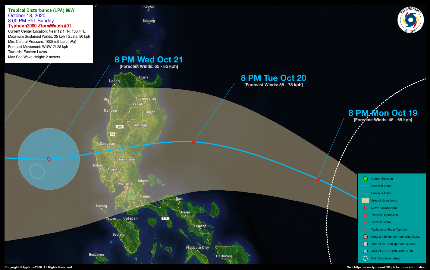
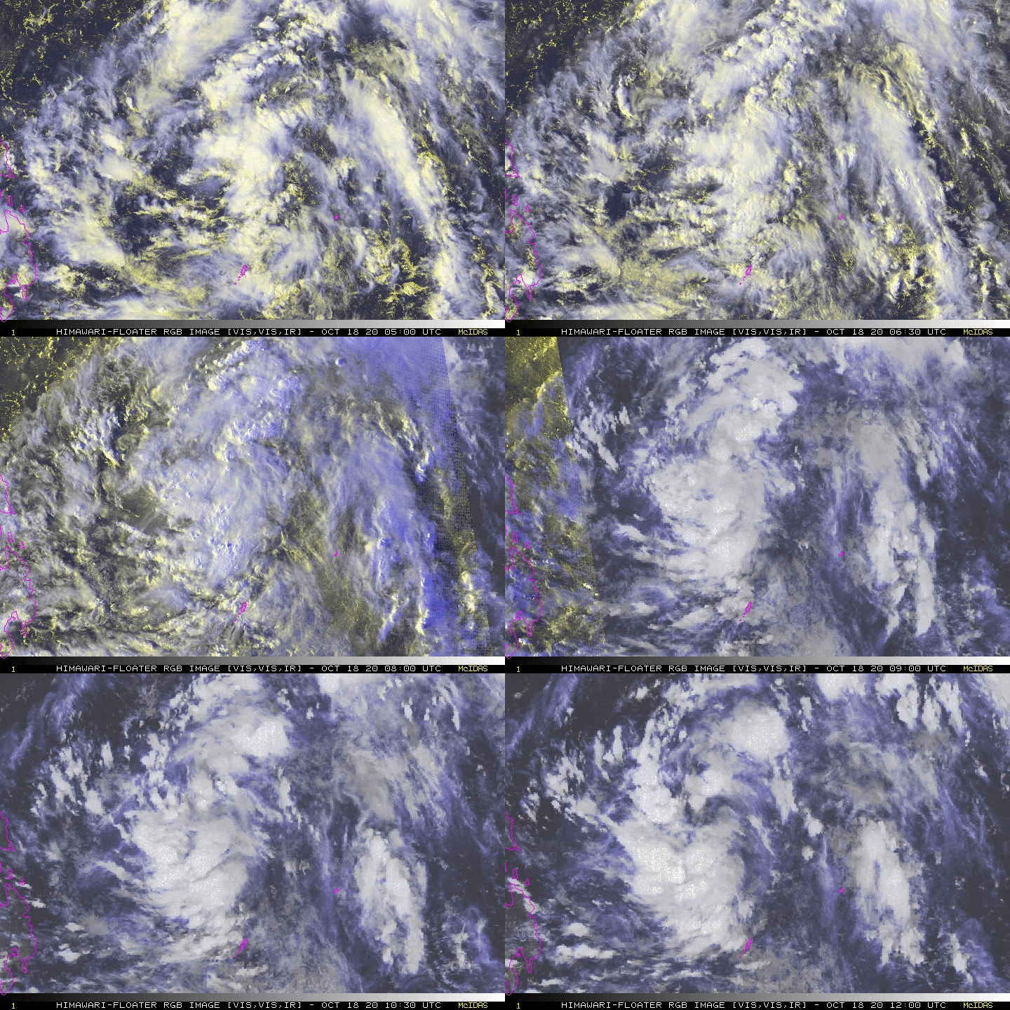
A broad Tropical Disturbance (LPA) with ID number “96W” has entered the eastern border of the Philippine Area of Responsibility (PAR) and becomes active…currently traversing the Philippine Sea and could develop into a Tropical Depression (TD) within the next 12 to 24 hours…likely to cross Luzon on Tuesday or Wednesday (Oct 20 or 21). *This potential cyclone as well as its Trough could bring cloudy skies & breezy conditions, with occasional rains and thunderstorms across Luzon and some parts of Visayas beginning tomorrow, Monday (Oct 19). |
| Where is the LPA? | As of 8:00 PM PhT today, October 18…1200 GMT. The developing center was located over the southeastern part of the Central Philippine Sea (near 12.1°N 133.4°E), about 1,012 km east of Virac, Catanduanes or 1,301 km east-southeast of Casiguran, Aurora. |
| How strong is it? | Maximum Sustained Winds (1-min avg): 35 kph near the center…Gustiness: 50 kph. |
| Past Movement (06 hrs) | West-Northwest @ 30 kph, towards Eastern Luzon. |
| Forecast Highlights |
|
| Information based on data collected by Typhoon2000 (T2k) shall not be taken as official data. Weather information broadcasted and distributed by PAGASA remains as official data. Typhoon2000 (T2k) shall not be responsible for the private use and reliance of its weather information. | |
Issued by: David Michael V. Padua for T2K
o


