TROPICAL DEPRESSION ENTENG STORMWATCH NO. 01Issued at: 10:00 AM PhT (02:00 GMT) Saturday, 08 August 2020
Next update: 10:00 AM PhT (02:00 GMT) Sunday, 09 August 2020 |
|
|---|---|
| Current Status and Outlook |
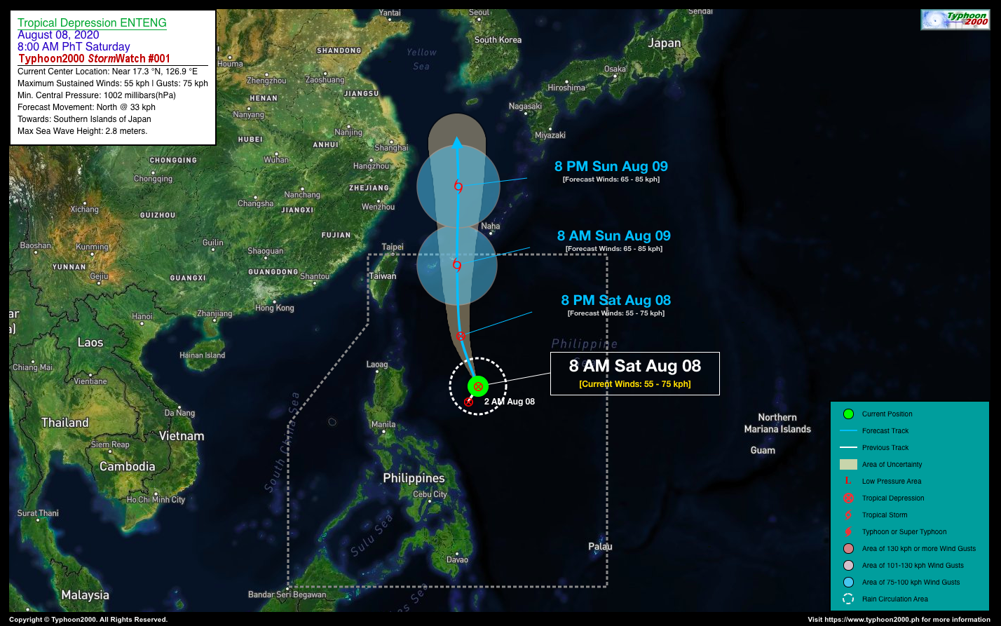
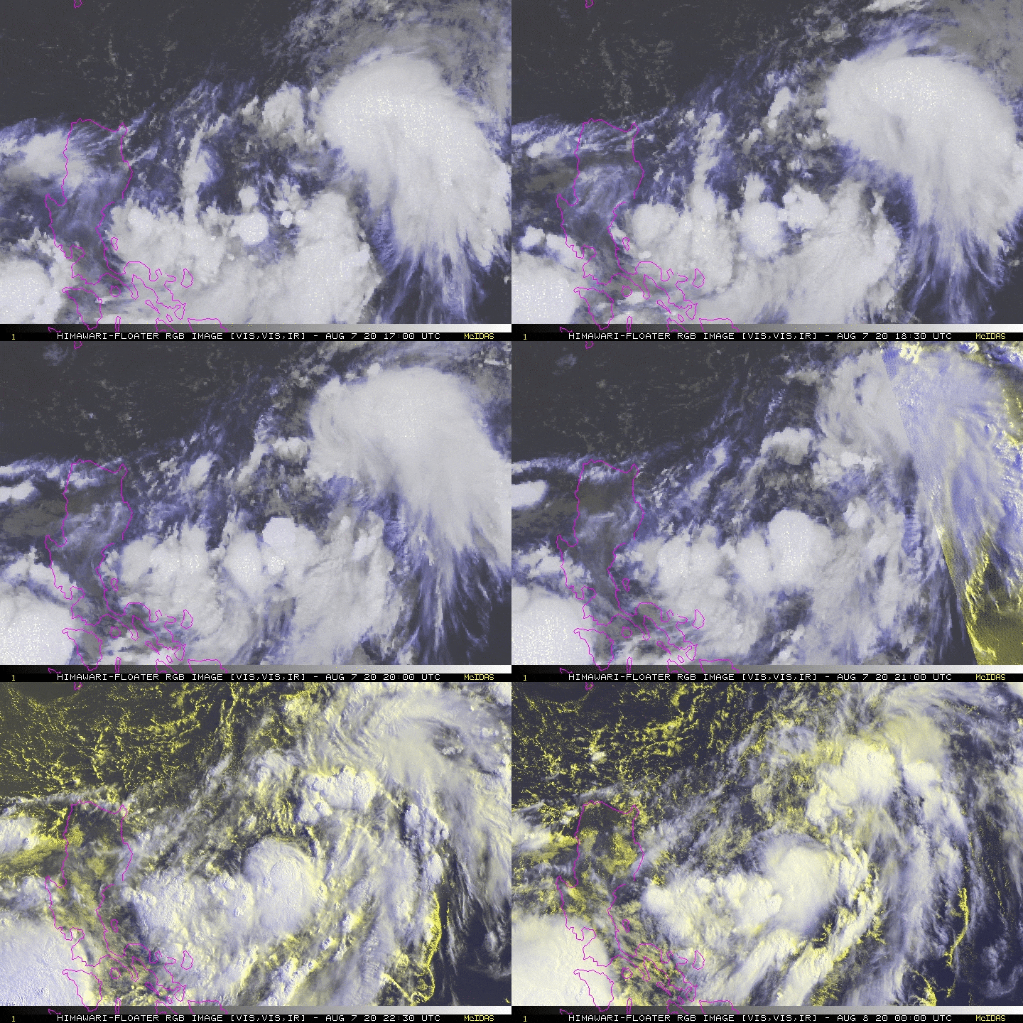
The Tropical Disturbance (LPA) 94W over the Philippine Sea, east of Luzon has quickly organized into a weak Tropical Depression named locally as “ENTENG.” This cyclone is not expected to pose any direct effect to the country as it is forecast to move northward towards the Southern Islands of Japan. *The presence of TD ENTENG and another Tropical Disturbance (LPA) to the west of Luzon will enhance the Southwest Monsoon (Habagat) and bring cloudy skies & breezy conditions, with occasional rains and thunderstorms across the Western Sections of the Philippines. |
| Where is ENTENG? | As of 8:00 AM PhT today, August 08…0000 GMT. The ill-defined center was located over the northernmost part of the Central Philippine Sea (near 17.3°N 126.9°E), about 515 km east-southeast of Santa Ana, Cagayan or 553 km east of Tuguegarao City, Cagayan. |
| How strong is it? | Maximum Sustained Winds (1-min avg): 45 kph near the center…Gustiness: 65 kph. |
| Past Movement (06 hrs) | North-Northeast @ 20 kph, towards the Southern Islands of Japan. |
| Forecast Highlights |
|
| Information based on data collected by Typhoon2000 (T2k) shall not be taken as official data. Weather information broadcasted and distributed by PAGASA remains as official data. Typhoon2000 (T2k) shall not be responsible for the private use and reliance of its weather information. | |
Issued by: David Michael V. Padua for T2K
o


