TROPICAL STORM SURIGAE STORMWATCH NO. 03Issued at: 7:00 PM PhT (11:00 GMT) Thursday, 15 April 2021
Next update: 7:00 PM PhT (11:00 GMT) Friday, 16 April 2021 or earlier |
|
|---|---|
| Current Status and Outlook |
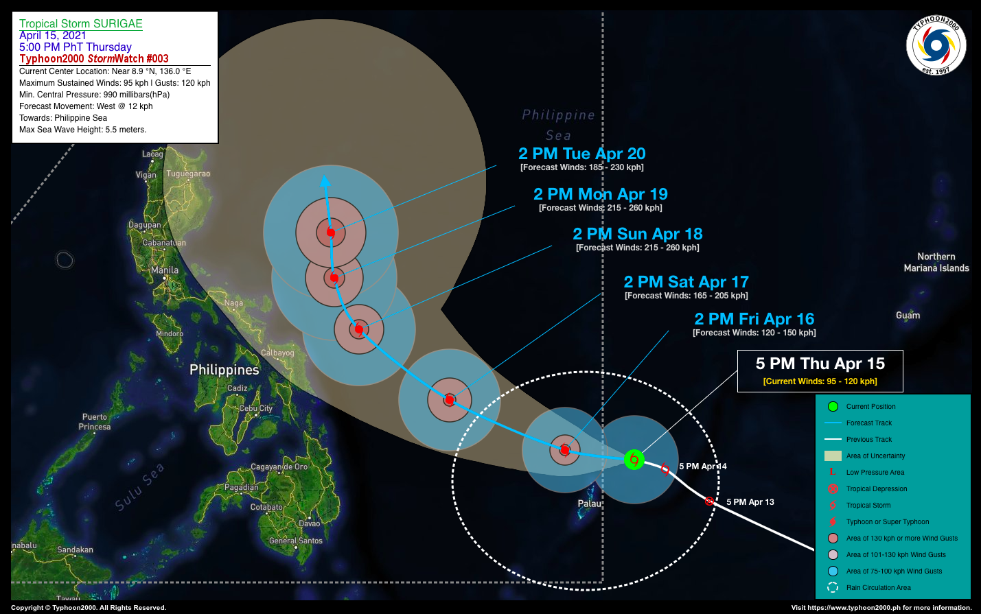
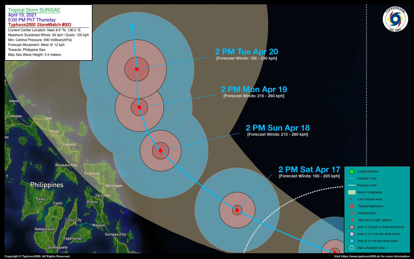
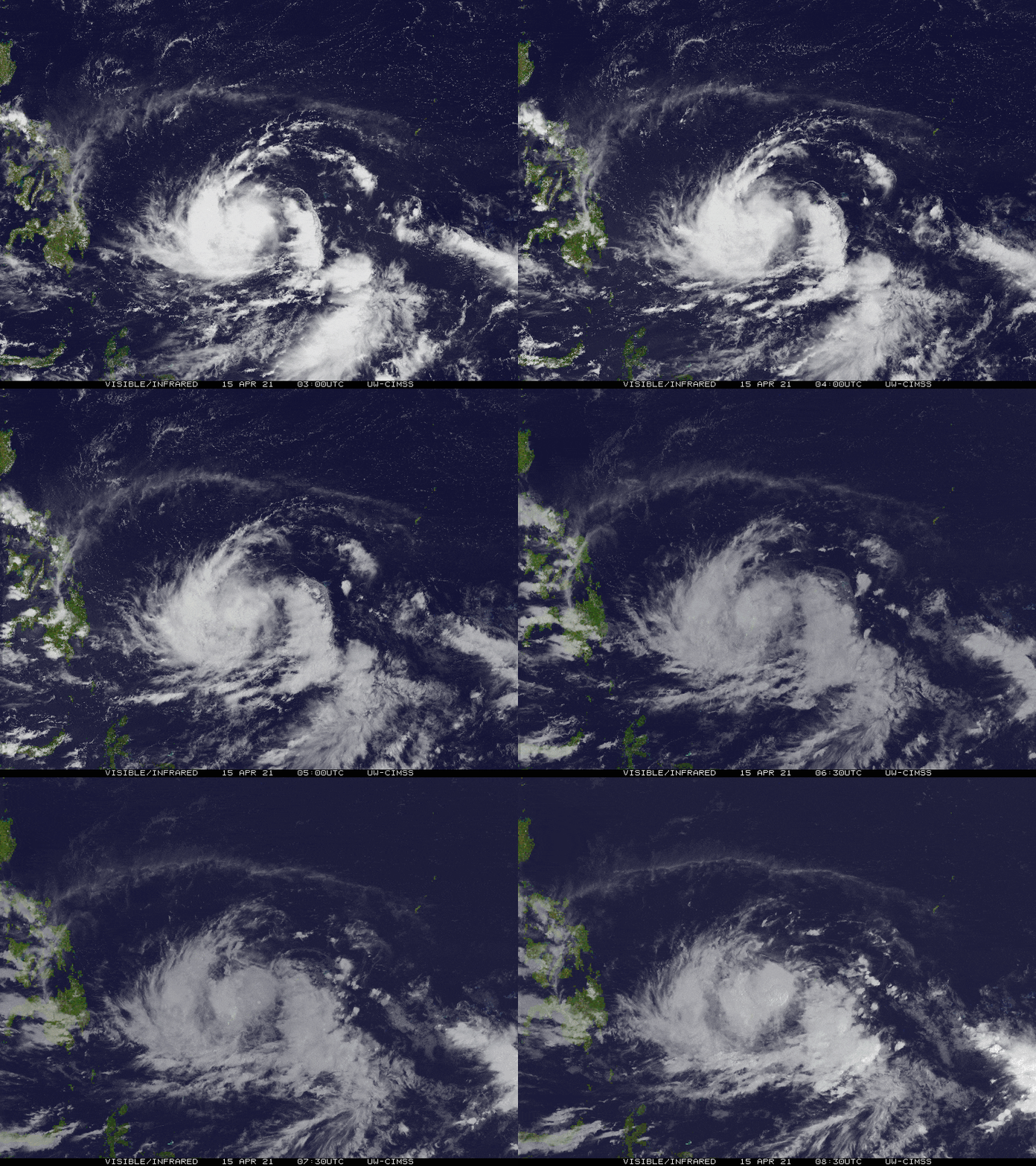
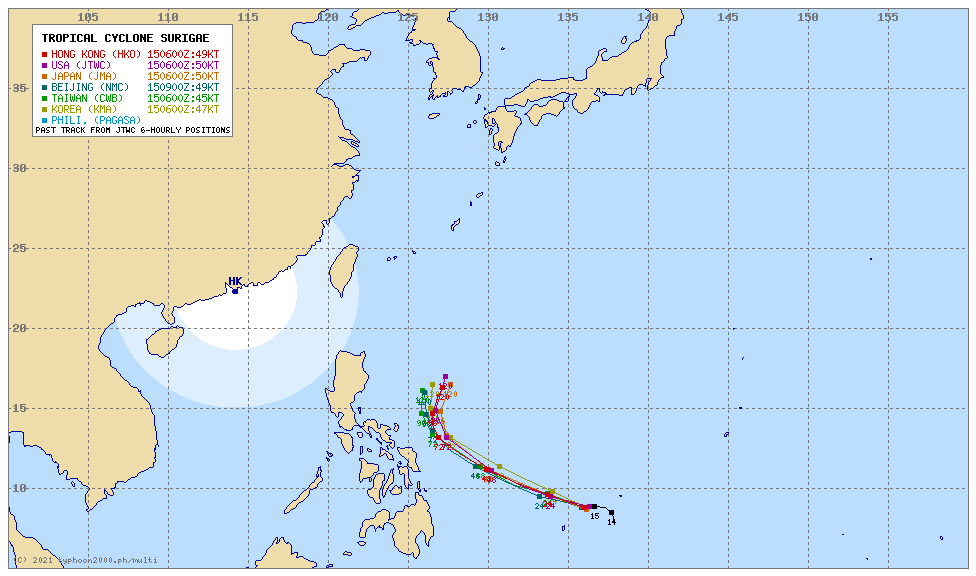
Tropical Storm (TS) SURIGAE has strengthened into a Severe Tropical Storm (STS) and has drifted west-northwestward slowly during the past 6 hours…expected to enter the southeastern border of the Philippine Area of Responsibility (PAR) by tomorrow morning. STS SURIGAE is forecast to become a Typhoon (TY) by tomorrow afternoon and shall start accelerating west-northwestward across the Philippine Sea for the next 48 hours. Further intensification is anticipated as it moves closer to the coastal areas of Samar and Bicol Provinces. |
| Where is SURIGAE? | As of 5:00 PM PhT today, April 15…0900 GMT:
|
| How strong is it? | Maximum Sustained Winds (1-min avg): 95 kph near the center…Gustiness: 120 kph. |
| Past Movement (06 hrs) | West-Northwest @ 04 kph, towards the Philippine Sea. |
| Forecast Highlights |
|
| Information based on data collected by Typhoon2000 (T2k) shall not be taken as official data. Weather information broadcasted and distributed by PAGASA remains as official data. Typhoon2000 (T2k) shall not be responsible for the private use and reliance of its weather information. | |
Issued by: David Michael V. Padua for T2K
o


