
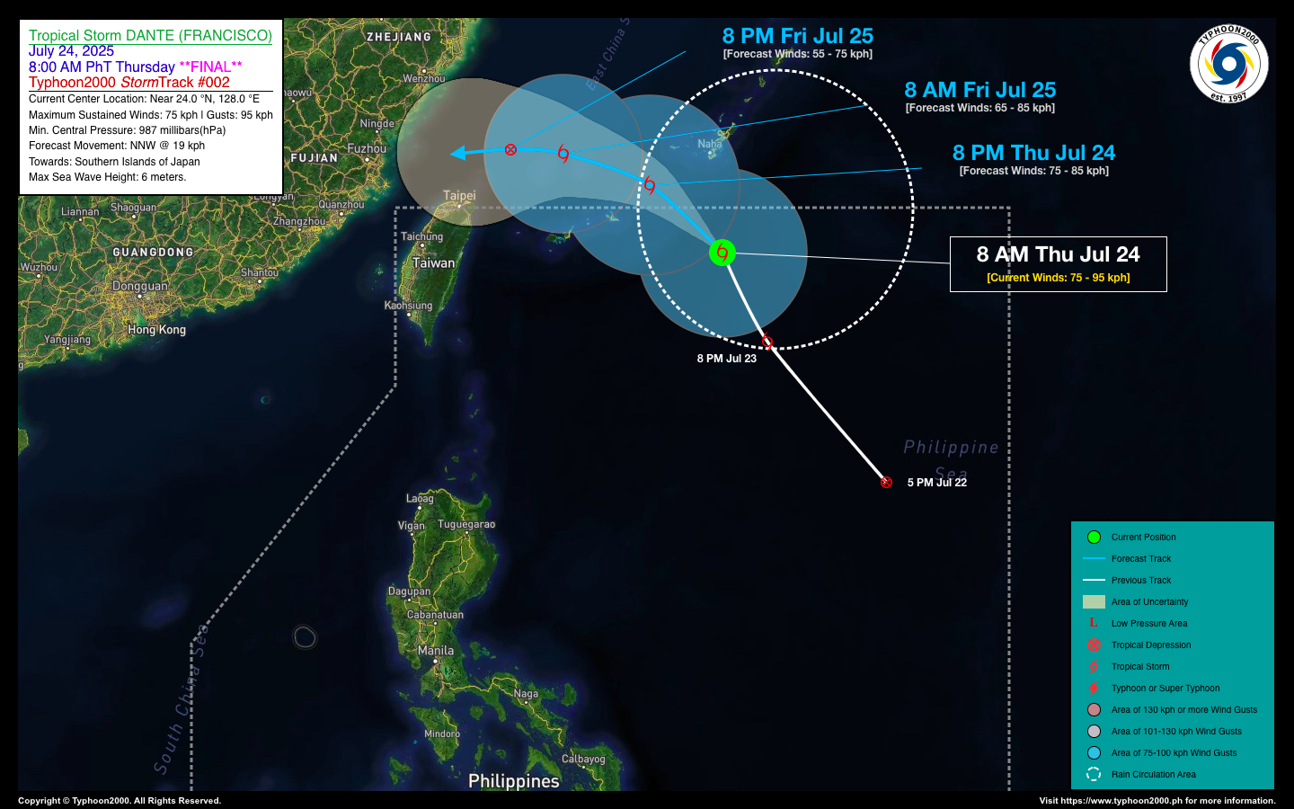
TROPICAL STORM DANTE (FRANCISCO) STORMWATCH NO. 02 [FINAL]Issued at: 12:00 PM PhT (04:00 GMT) Thursday, 24 Jul 2025
|
|
|---|---|
| Current Status and Outlook |
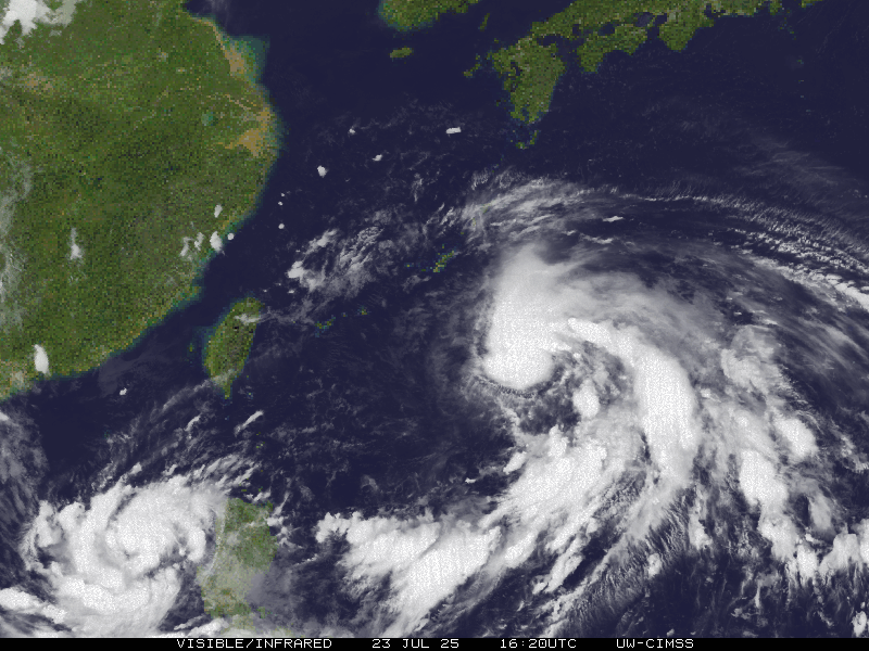
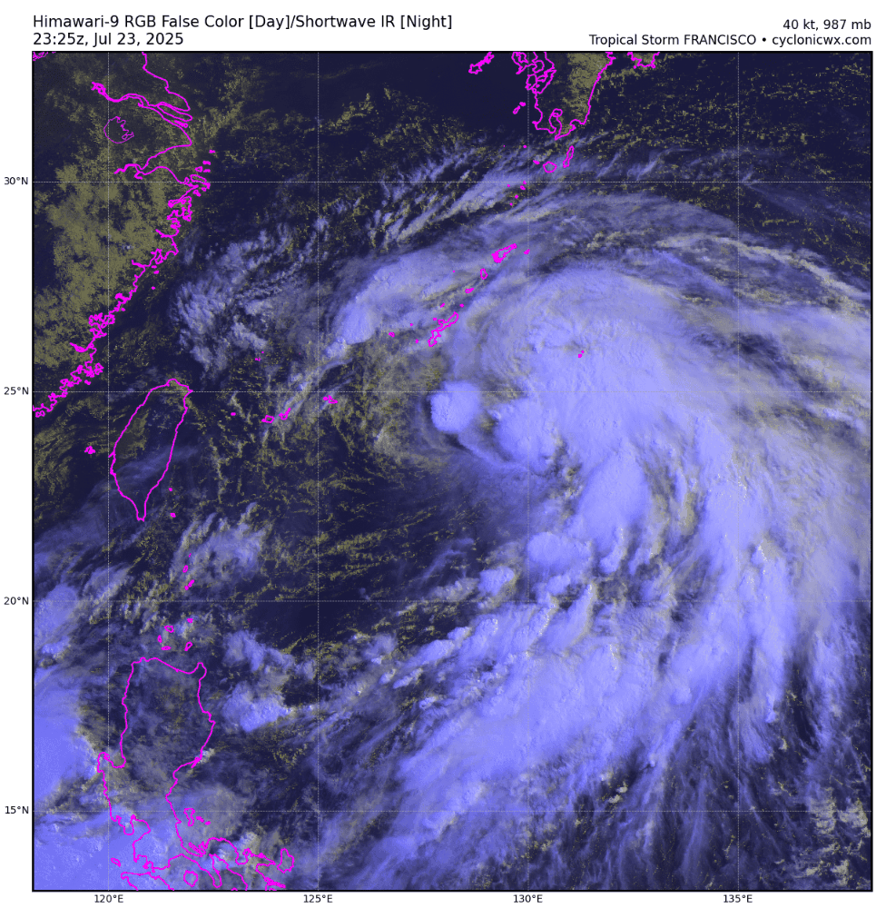
Tropical Storm DANTE (FRANCISCO) remains a non-threat to the country and is about to exit the northern border of the Philippine Area of Responsibility (PAR). This will be the Final Stormwatch on this tropical cyclone. |
| Where is DANTE? | As of 8:00 AM PhT today, July 24…0000 GMT:
|
| How strong is it? | Maximum Sustained Winds (1-min avg): 75 kph near the center…Gustiness: 95 kph. |
| Past Movement (06 hrs) | North-Northwest @ 18 kph, towards the Southern Islands of Japan. |
| Forecast Highlights |
|
| This StormWatch is valid for the next 24 hours.
Information based on data collected by Typhoon2000 (T2k) shall not be taken as official data. Weather information broadcasted and distributed by PAGASA remains as official data. T2k shall not be responsible for the private use and reliance of its weather information. |
|
Issued by: David Michael V. Padua for Typhoon2000 (T2K)
o


