TROPICAL DISTURBANCE (LPA) VICKY STORMWATCH NO. 02Issued at: 7:00 PM PhT (11:00 GMT) Friday, 18 December 2020
Next update: 7:00 PM PhT (11:00 GMT) Saturday, 19 December 2020 or earlier |
|
|---|---|
| Current Status and Outlook |
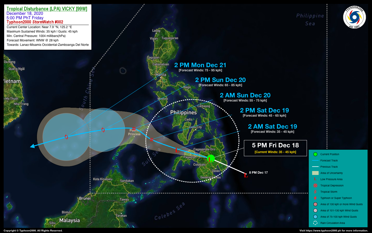
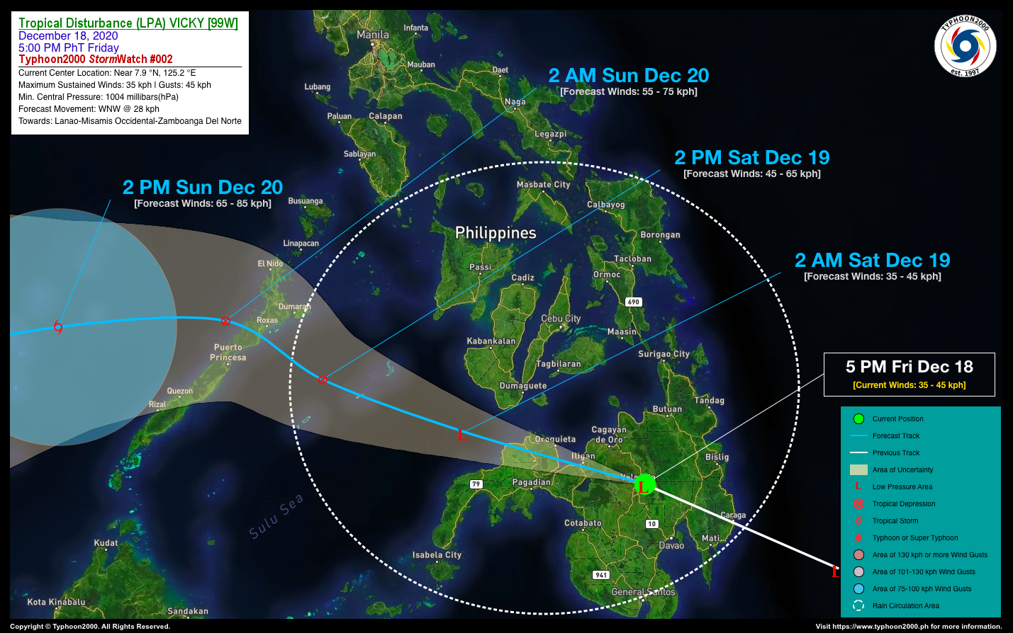
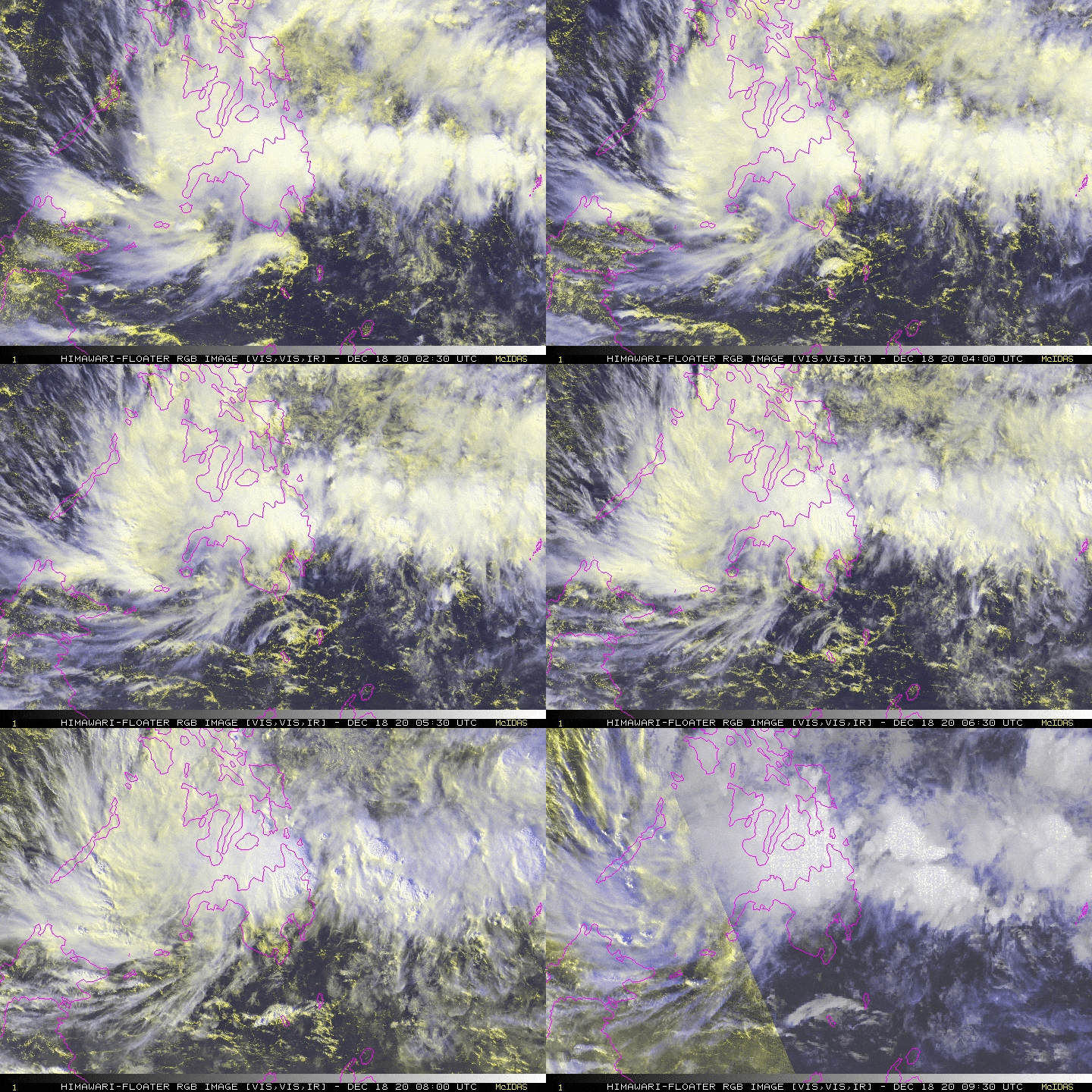
The broad but disorganized Tropical Disturbance (LPA) which is now named locally as “VICKY” is now traversing the central portion of Mindanao…currently in the vicinity of Bukidnon-Lanao Provinces Area, as it heads towards Misamis Occidental and the northern portion of Zamboanga Del Norte. This system is likely to become a Tropical Depression (TD) once it reaches the warm waters of the Sulu Sea within the next 12 to 24 hours. LPA VICKY and its trough will continue to bring scattered to widespread rains and thunderstorms across Visayas, Mindanao, Sulu Archipelago, and Palawan this weekend. Floods and landslides are likely in this kind of weather system. *Kindly refer to PAGASA for local warnings and forecasts in your respective regions. |
| Where is LPA VICKY? | As of 5:00 PM PhT today, December 18…0900 GMT:
|
| How strong is it? | Maximum Sustained Winds (1-min avg): 35 kph near the center…Gustiness: 50 kph. |
| Past Movement (06 hrs) | West-Northwest @ 29 kph, towards the Lanao-Misamis Occidental-Northern Zamboanga Del Norte Area. |
| Forecast Highlights |
|
| Information based on data collected by Typhoon2000 (T2k) shall not be taken as official data. Weather information broadcasted and distributed by PAGASA remains as official data. Typhoon2000 (T2k) shall not be responsible for the private use and reliance of its weather information. | |
Issued by: David Michael V. Padua for T2K


