TROPICAL DISTURBANCE (LPA) STORMWATCH NO. 01Issued at: 11:30 PM PhT (15:30 GMT) Thursday, 17 December 2020
Next update: 7:00 PM PhT (11:00 GMT) Friday, 18 December 2020 or earlier |
|
|---|---|
| Current Status and Outlook |
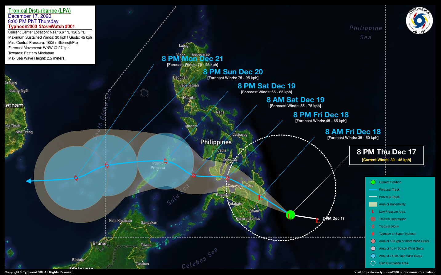
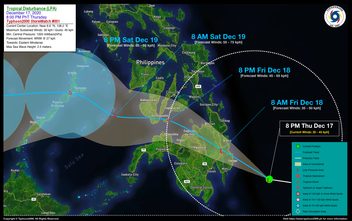
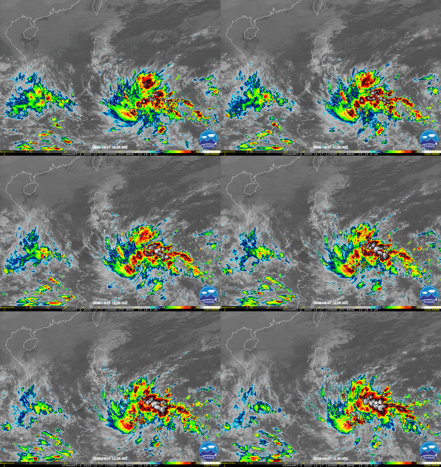
A broad & rapidly developing area of low pressure located over the South Philippine Sea (inside the Philippine Area of Responsibility) has been moving closer to Mindanao. This system is expected to cross Davao-Caraga-Northern Mindanao Area within the next 24 hours, and could develop into a Tropical Depression (TD) upon reaching the Bohol & Sulu Seas. This disturbance and its trough will bring scattered to widespread rains and thunderstorms across Visayas, Mindanao, Palawan and some portions of Bicol Region this weekend. Floods and landslides are likely in this kind of weather system. *Kindly refer to PAGASA for local warnings and forecasts in your respective regions. |
| Where is the LPA? | As of 8:00 PM PhT today, December 17…1200 GMT:
|
| How strong is it? | Maximum Sustained Winds (1-min avg): 30 kph near the center…Gustiness: 45 kph. |
| Past Movement (06 hrs) | West @ 37 kph, towards the Eastern & Northern Mindanao. |
| Forecast Highlights |
|
| Information based on data collected by Typhoon2000 (T2k) shall not be taken as official data. Weather information broadcasted and distributed by PAGASA remains as official data. Typhoon2000 (T2k) shall not be responsible for the private use and reliance of its weather information. | |
Issued by: David Michael V. Padua for T2K


