
TROPICAL DEPRESSION IGME STORMWATCH NO. 01Issued at: 8:00 PM PhT (12:00 GMT) Friday, 20 Sept 2024
Next update: 8:00 PM PhT (12:00 GMT) Saturday, 21 Sept 2024 |
|
|---|---|
| Current Status and Outlook |
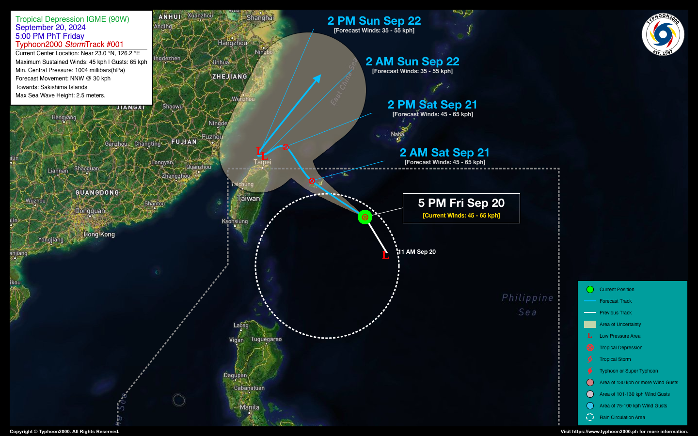
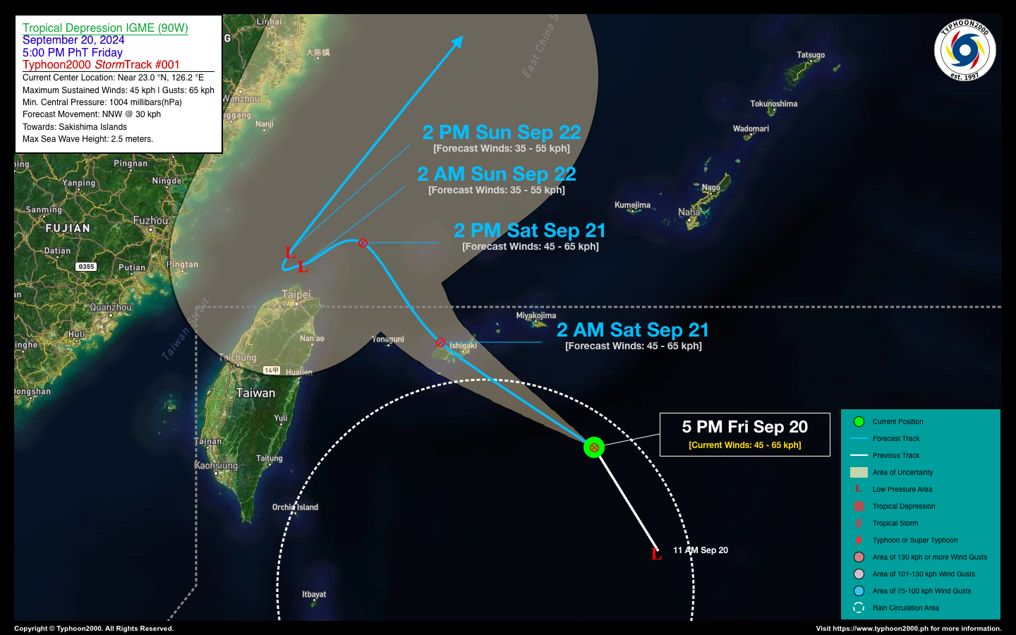
A fast-moving tropical disturbance (LPA 90W), which formed in the wake of the monsoon trough over the Philippine Sea, has developed into a tropical depression named “IGME.” However, the system is expected to be short-lived as it encounters unfavorable atmospheric conditions over the East Taiwan Sea, and it is forecast to exit the Philippine Area of Responsibility (PAR) by tomorrow morning. Meanwhile, the enhancement of the Southwest Monsoon (Habagat) by Tropical Depression IIGME will continue to bring occasional rain showers and gusty winds (below 50 kph) across Western Luzon tonight and tomorrow. Weather conditions are expected to improve starting Sunday, September 22. |
| Where is IGME? | As of 5:00 PM PhT today, September 20…0900 GMT:
|
| How strong is it? | Maximum Sustained Winds (1-min avg): 45 kph near the center…Gustiness: 65 kph. |
| Past Movement (06 hrs) | North-Northwest @ 30 kph, towards Sakishima Islands. |
| Forecast Highlights |
|
| This StormWatch is valid for the next 24 hours.
Information based on data collected by Typhoon2000 (T2k) shall not be taken as official data. Weather information broadcasted and distributed by PAGASA remains as official data. Typhoon2000 (T2k) shall not be responsible for the private use and reliance of its weather information. |
|
Issued by: David Michael V. Padua for Typhoon2000 (T2K)
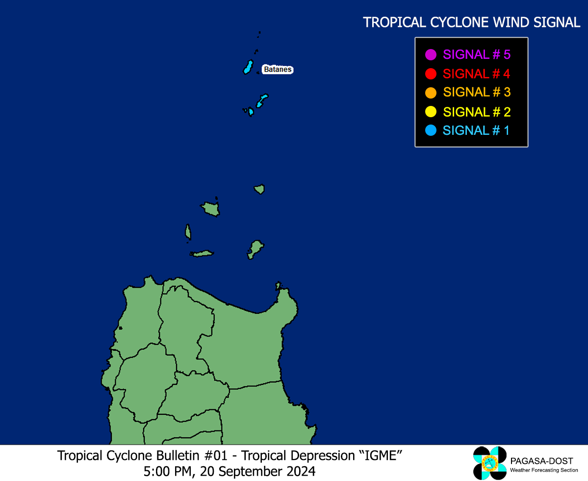
PAGASA TROPICAL CYCLONE WIND SIGNAL
Image/Screenshot Source: DOST-PAGASA (https://bagong.pagasa.dost.gov.ph/tropical-cyclone/severe-weather-bulletin)


